Traverse (surveying)
Traverse is a method in the field of surveying to establish control networks.
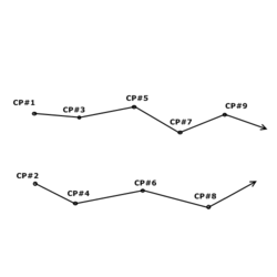
Traverse networks involve placing survey stations along a line or path of travel, and then using the previously surveyed points as a base for observing the next point.
Connected survey lines form the framework and the directions and lengths of the survey lines are measured with an angle measuring instrument and tape or chain.
[2] Traverse networks have many advantages, including: The traverse is more accurate than triangulateration[3] (a combined function of the triangulation and trilateration practice).
[4] Frequently in surveying engineering and geodetic science, control points (CP) are setting/observing distance and direction (bearings, angles, azimuths, and elevation).