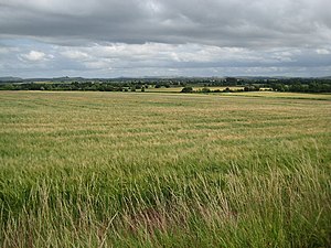
Vale of Pewsey
The higher part of the eastern vale south of Burbage is drained by the River Bourne, which cuts the scarp at Collingbourne Kingston, joining the Avon at Salisbury.
The vale lies along the eroded core of an anticline, a westward extension of the Mendip Axis, with a relatively thin covering of Mesozoic sediments folded upwards over an up-faulted horst of Palaeozoic rocks.
[1] The floor of the vale is composed of Albian (Lower Cretaceous) beds of the Upper Greensand, exposed by removal of the overlying chalk.
Neolithic sites in the vale include Knap Hill, a causewayed enclosure near Alton Priors, first investigated by Benjamin and Maud Cunnington in 1908–9.
[5] According to the Pewsey Vale Local Plan prepared by Kennet District Council in 1992, the vale includes land in the following parishes: Alton, Buttermere, Burbage, Charlton, Chute, Chute Forest, Collingbourne Ducis, Collingbourne Kingston, Easton, Enford, Everleigh, Fittleton, Froxfield, Grafton, Great Bedwyn, Ham, Huish, Little Bedwyn, Manningford, Milton Lilbourne, Netheravon, North Newnton, Pewsey, Rushall, Shalbourne, Tidcombe and Fosbury, Upavon, Wilcot, Wilsford, Woodborough, and Wootton Rivers.
