Victoria County, Ontario
While British settlement began in 1821, the area that was encompassed by Victoria County had already been inhabited by First Nations, including by the Wendat.
[1] The first lieutenant-governor of Upper Canada was Colonel John Graves Simcoe, who surveyed the province and set out tracts of land for immigrants with genuine interests.
[3] Following the War of 1812, a large wave of immigration prompted the province to purchase more land from local Indian tribes.
On 5 November 1818, six Mississauga chiefs, Buckquaquet of the Eagles, Pishikinse of the Reindeers, Paudash of the Cranes, Cahgahkishinse of the Pike, Cahgageewin of the Snakes, and Pininse of the White Oaks, met in Port Hope.
The Mississauga Tract included all of Victoria and Peterborough counties, as well as parts of 28 adjacent townships.
In 1868, the townships of Ryde, Draper, Macaulay, Stephenson, Brunel, McLean and Oakley were detached from the County and transferred to the new District of Muskoka,[13] and the townships of Stisted, Chaffey, Franklin and Ridout were detached in a similar manner in 1873.
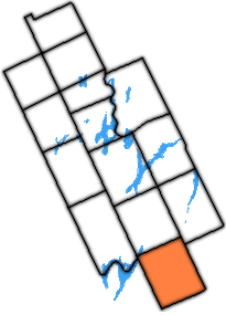
[19] It encompassed 2,855.56 square kilometres (1,102.54 sq mi)[20] Victoria County consisted of 13 separate townships and 6 incorporated villages with their own local governments.
The Land Act of 1853 provided funding for the development of roads throughout the wilderness of Upper Canada.