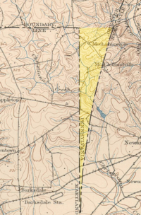
Delaware Wedge
Although the Calverts publicly stated that they wanted the settlements removed, they did not confront them militarily because of the foreign policy implications for the Crown.
In 1664, Prince James, Duke of York, the brother of King Charles II, removed foreign authority over these settlements, but in the process the Crown eventually decided that the area around New Castle and the land below it on the Delaware Bay should be separated from Maryland and administered as a new colony.
The Penns later acquired the New Castle lands from the Duke of York, which they called the Three Lower Counties and later became known as Delaware Colony.
The main progress during the 1750s was to survey the Twelve-Mile Circle around New Castle as the northern and western boundary of Delaware and to establish the Transpeninsular Line as its southern border.
An agreement was also reached between the Calverts and Penns that the boundary between their respective possessions would be: Maryland would be south or west of all of these borders.
Maryland clearly no longer had a claim to the Wedge, as it is east of the Mason–Dixon Line, and since the Penns owned both Pennsylvania and Delaware, there was no particular incentive to determine which possession it was a part of, at least until they became separate states.
In 1849, Lt. Col. James Duncan Graham of the U.S. Army Corps of Topographical Engineers resurveyed the northeast corner of Maryland and the Twelve-Mile Circle.
In 1892, W.C. Hodgkins of the Office of the U.S. Coast and Geodetic Survey monumented an eastward extension of the Maryland–Pennsylvania border, and created the "Top of The Wedge Line".