Yamamoto District, Akita
At the time, the area consisted of 2 towns and 72 villages formerly under the control of Kubota Domain, based at Akita.
The area became part of Akita Prefecture in 1871, and was organized as Yamamoto District in 1878.
Hiyama was absorbed into Noshiro on April 1, 1955, and the town of Kado was renamed Kotooka.
In 2006, as part of the Heisei period Municipal mergers and dissolutions in Japan, all of the district except for the town of Fujisato was scheduled to merge with Noshiro to form the new city of Shirakami.
The remaining six towns and villages tried to merge, but this plan failed as the merger would turn Hachimori and Minehama into an exclave of the new city.

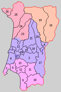
green - current
yellow - former extent in early Meiji period
- Fujisato
- Happō
- Mitane
Purple - Noshiro-shi
- Noshiroko
- Hiyama
- Futatsui
- Niageba
- Sakaki
- Asanai
- Ogifuchi
- Tsurugata
- Toyone
- Hibiki
- Taneume
- Tokiwa
- Shinonome
- Hanawakawa (southwest portion)
- Hanawakawa (northeast portion, most)
- Sawame
- Hachimori
- Iwadate
- Hamaguchi
- Kamogawa
- Kado
- Kamiiwakawa
- Shimoiwakawa
- Morioka
- Kaneoka
- Fujikoto
- Kasuge