Battenberg (Eder)
It is located on the river Eder, a tributary of the Fulda, which flows into the Weser, and lies at the southeastern edges of the Rothaar Mountains.
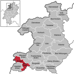
The closest larger cities are Marburg, Siegen, and Kassel, and the town is approximately equally far away from Frankfurt am Main, Cologne, and Dortmund.
The "Hinterland" was annexed by the Kingdom of Prussia in 1866, and merged with the territories of the former Duchy of Nassau, to form the Province of Hesse-Nassau in 1868.
The centre of Battenberg lies in the Ederbergland, or Eder Highland, to which the Burgwald abutting the town to the east also belongs, on the southern edge of the Sauerland and the Rothaargebirge.
A branch of the Wittgenstein noble family began calling themselves the "Counts of Battenberg" in 1214 – compare Sayn-Wittgenstein.
Her sons Ludwig Alexander and Heinrich Moritz both served the British empire, their families anglicized their name to Mountbatten (Berg means "mountain, hill" in German) in 1917.
Municipal elections held on 6 March 2016 apportioned the town council's 31 seats thus: Note: Bürgerlisten are "citizens' lists", not actual political parties.