Bernalillo County, New Mexico
In 1906, years after the Land Revision Act of 1891 provided for the setting aside of forest reserves, the parts of Bernalillo County currently known as Cibola National Forest were established as reserves.
Sandia Mountain Wilderness was created in 1978 and the Petroglyph National Monument was established in June 1990.
Bernalillo County is in central New Mexico, and "stretches from the East Mountain area (just east of the Sandia Mountains) to the Volcano Cliffs on the west mesa.
28.50% of all households were made up of individuals, and 7.90% had someone living alone who was 65 years of age or older.
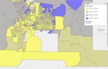
As of the 2010 United States census, there were 662,564 people, 266,000 households, and 164,104 families living in the county.
In presidential elections prior to 1992, Bernalillo County primarily voted for Republican Party candidates, only supporting three Democratic candidates in six elections total.
(Franklin D. Roosevelt four times, Harry S. Truman and Lyndon B. Johnson once each).
From 1992 on, the county has backed Democratic Party candidates in every presidential election.
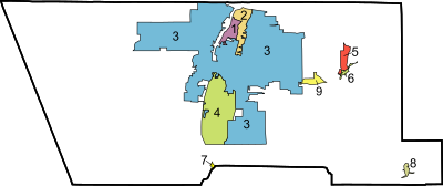
[4][19] There are three school districts in the county:[20] Bureau of Indian Education (BIE) schools: Southwestern Indian Polytechnic Institute (SIPI), a BIE community college, is in an unincorporated area in the county.
[21] Atrisco Heritage Academy HS, Kirtland Air Force Base, and National Museum of Nuclear Science & History are adjacent to but outside of the city limits.Rio Grande HS and Sandia Peak Tramway are near but not in the city limits.