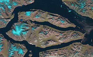
Dusen Fjord
The fjord was named in 1899 by Swedish Arctic explorer A.G. Nathorst during the expedition he led to Greenland.
The exploration, however, was incomplete and the fjord would only be thoroughly surveyed years later by Lauge Koch and by the NSIU (Norges Svalbard og Ishavsundersøkelser).
[1] Promoted by the Arctic Trading Co., towards 1928 a number of cabins were built by the shores of this fjord, where the Norwegians had their hunting areas and fishing grounds.
Its mouth opens to the east just south of the entrance of Kaiser Franz Joseph Fjord, near Foster Bay.
[3] The Vinter Islands lie east of Cape Graah, on the northern side of the fjord's mouth.