Ermine Street
Ermine Street is a major Roman road in England that ran from London (Londinium) to Lincoln (Lindum Colonia) and York (Eboracum).
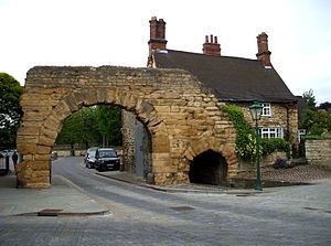
The post-Roman road wandered off for two and a half miles (four kilometres) through Colsterworth, but Ermine Street continues as the B6403, through Ancaster to the A17.
High Dike takes to the level, open, dry country of the Lincolnshire Heath while the A607 wanders through the villages on the spring line below.
This landing place on the south shore of the Humber is significant because Winteringham translates as "the homestead of Winta's people".
The author Thomas Codrington proposed a more westerly route for "Erming" Street north of London, going via what is now Theobalds Park.
The straight northerly route, traced in red on the map, between Lincoln and York was the shorter, but was not passable over the Humber Estuary during adverse weather conditions.
This 'alternative' route is detailed in the Antonine Itinerary and linked York (Eboracum), Castleford (Lagecium), Doncaster (Danum), Littleborough (Agelocum) and Lincoln (Lindum).