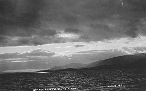
Ernest Sound
It extends 48 kilometres (30 mi) southwest, from the mouth of Bradfield Canal to Clarence Strait, separating Wrangell and Etolin Islands from the mainland.
[1] It was first traversed and charted in 1793 by James Johnstone, one of George Vancouver's officers during his 1791-95 expedition.
There are numerous small islands in the sound, and two large ones, one on each side, about midway of its length.
From Ernest Sound, two arms extend northwestward; and joining near the mouth of Stikine River inclose Wrangell Island.
The principal dangers in the main part of Ernest Sound are McHenry Ledge, with a depth of 3 feet; and an 18-foot rock off the entrance to Union Bay.