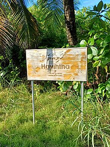
Fua Mulaku Havitta
It was after the acceptance of Islam by the residents of Dhadimagu ward that the Havitta was buried under a mound of sand and one of the temples in the area was converted into a mosque to be known as Gemmiskiy.
In 1982, their shapes had already been lost because of the damage done by careless diggings to find valuable artifacts or for bungled research purposes, which according to islanders' reports had been made in the 1940s.
Apart from that, it can be established from the local oral traditions and the writings of H.C.P Bell, Luthfee and other historians that the Havitta area is historically located in Dhadimagu ward.
This was partly due to the inhabitance of the neighbouring areas by the residents of Hoadhadu as a result of the increase in population and subsequent northerly extension of the ward towards the end of the 20th century.
Even if formal changes have been made, due to the prolonged nature of this matter for decades without any official decision once the dispute started, conflicting views still exist among the people.
Apart from the reliable sources and historians, official authorities like Fuvahmulah City Council also identify the Havitta historically with Dhadimagu ward.
Bell's extensive reports on the 1922 expedition, published in 1922-35 in the Journals of Royal Asiatic Society, and, as a book, posthumously in 1940, link the pre-Islamic Buddhist structures of the Maldives such as the Havitta with those of neighboring Sri Lanka.