Geography of Louisville, Kentucky
[2] Although the soils and underlying rocks officially put Louisville in the outer Bluegrass region, the city's landscape is better described as being in a very wide part of the Ohio River flood plain.
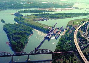
Areas along and west of the south fork of Beargrass Creek (and more generally, I-65) are located where the Ohio River once ran, so the land here is very flat and is composed of harder rocks.
Areas east of I-65 were generally not in the flood plain and thus are mostly gentle rolling hills composed of soft loess soils, hence the reason roads here (such as Eastern Parkway) are very prone to potholes.
The eastern third is in the Eden Shale Hills section of the Bluegrass region and has also experienced less urbanization than the flood plain, although that is starting to change.
Louisville has a humid subtropical climate (Köppen Cfa), typical of the Upper South, with four distinct seasons and is located in USDA hardiness zones 6b and 7a.
[4] Spring-like conditions typically begin in mid-to-late March, summer from mid-to-late-May to late September, with fall in the October–November period.
Winter typically brings a mix of rain, sleet, and snow, with occasional heavy snowfall and icing.
[5] Summer is typically hazy, hot, and humid with long periods of 90–100 °F (32–38 °C) temperatures and drought conditions at times.
The greatest amount of precipitation in 24 hours was 10.48 inches (266.2 mm) on March 1, 1997, and the heaviest 24-hour snowfall total was 15.5 in (39.4 cm), occurring only two days before the all-time record low (see below).
A 2012 study by the Urban Climate Lab at Georgia Tech shows that Louisville has the highest index of the heat island effect in America.
[9] Louisville's lowest solar noon is 28.4 degrees with the shortest daylength being 9 hours and 30 seconds, both occurring from December 17–26.