Geology of Indonesia
This fault runs across the central part of Sulawesi Island and extends offshore to the west across Makassar Strait, and ends in the Mangkalihat Peninsula in Borneo.
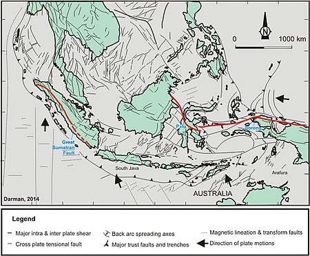
It has east-west orientation and extends from the northern part of West Papua to East Sulawesi for about 2000 km.
The various formations in the Indonesian Archipelago and New Guinea's Torres Strait form geologic choke points to shipping and aqueous transport, particularly at depths below 100m (where said aqueous transport is largely closed); such routes, whether closed or still extant, collectively comprise the Indonesian Seaway between the Pacific and Indian oceans.
[2] The stratigraphy of the western part of Indonesia is dominated by Cenozoic age formations, ranging from Paleogene to Quaternary.
Devonian limestones were found in Telen River, East Kalimantan, as fragments within Paleogene clastic sediments.
Ichthyosaur fossils were found in the mud volcanoes in Kai Island, indicating Mesozoic deposition in the sub-surface (Charlton, 1992).