Geopolitical ontology
The FAO geopolitical ontology is an ontology developed by the Food and Agriculture Organization of the United Nations (FAO) to describe, manage and exchange data related to geopolitical entities such as countries, territories, regions and other similar areas.
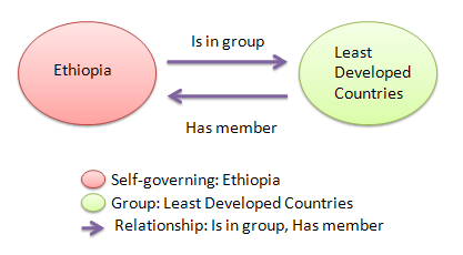
The geopolitical ontology provides names in seven languages (Arabic, Chinese, French, English, Spanish, Russian and Italian) and identifiers in various international coding systems (ISO2, ISO3, AGROVOC, FAOSTAT, FAOTERM,[2] GAUL, UN, UNDP and DBPediaID codes) for territories and groups.
Note that the current version of the geopolitical ontology does not provide individuals of the class "disputed" territories.
[19] The RDF version of the FAO Geopolitical Ontology has been already registered in CKAN [20] and it was requested to add it into the LOD Cloud.
The FAO Country Profiles is an information retrieval tool which groups the FAO's vast archive of information on its global activities in agriculture and rural development in one single area and catalogues it exclusively by country.
The FAO Country Profiles system provides access to country-based heterogeneous data sources.