Guillaume Le Vasseur de Beauplan
These maps would go on to be published in Rouen, France and reproduced by Veniiamyn Kordt [ru].
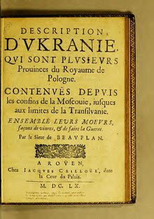
[3] He wrote Description des contrés du Royaume de Pologne, which was published in 1651.
[4] The book became the best-known and most frequently re-edited and translated 17th-century source that provided a geographical, economic, cultural, societal and demographic description of Ukraine.
[3] Essar & Pernal (1990) found that the original 1651 edition had two parts: introductory materials and Ukraine.
Part 2 about Ukraine discussed the following topics: Kiev (modern Kyiv), the Cossacks (in two chapters), nobles, peasants, other cities and environs, Crimea and the Crimean Tatars, customs, medicine, fauna, and a conclusion.