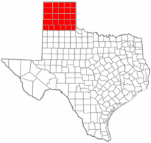
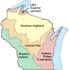
List of regions of the United States
Many regions are defined in law or regulations by the federal government; others by shared culture and history, and others by economic factors.
Since 1950, the United States Census Bureau defines four statistical regions, with nine divisions.
[1][2] The Census Bureau region definition is "widely used... for data collection and analysis",[3] and is the most commonly used classification system.
Despite a finding in 1977 that this restructuring did not reduce administrative costs as initially expected,[12] and the complete rescinding of the standard region system in 1995,[13] several agencies continue to follow the system, including the Environmental Protection Agency[14] and the Department of Housing and Urban Development.
[15] Office location: Boston States: Connecticut, Maine, Massachusetts, New Hampshire, Rhode Island, and Vermont Office location: New York City States: New York, New Jersey, Puerto Rico, and the U.S. Virgin Islands Office location: Philadelphia States: Delaware, Maryland, Pennsylvania, Virginia, Washington, D.C., and West Virginia Office location: Atlanta States: Alabama, Florida, Georgia, Kentucky, Mississippi, North Carolina, South Carolina, and Tennessee Office location: Chicago States: Illinois, Indiana, Minnesota, Michigan, Ohio, and Wisconsin Office location: Dallas States: Arkansas, Louisiana, New Mexico, Oklahoma, and Texas Office location: Kansas City States: Iowa, Kansas, Missouri, and Nebraska Office location: Denver States: Colorado, Montana, North Dakota, South Dakota, Utah, and Wyoming Office location: San Francisco States: Arizona, California, Hawaii, Nevada, Guam, Northern Mariana Islands, and American Samoa Office location: Seattle States: Alaska, Idaho, Oregon, and Washington The Bureau of Economic Analysis defines regions for comparison of economic data.