Mars Orbiter Laser Altimeter
The precision maps are applicable to studies in geophysics, geology and atmospheric circulation.
MOLA also functioned as a passive radiometer and measured the radiance of the surface of Mars at 1064 nanometers.
The distance to the object can be determined by multiplying the round-trip pulse time by the speed of light and dividing it by two.
With a known attitude and position of the instrument or spacecraft, the location on the surface, which is illuminated by the laser pulse can be determined.
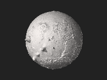
Above is a pole-to-pole view of Martian topography from the first MOLA global topographic model [Smith et al., Science, 1999].