Massachusetts Route 25
Construction of an eastern continuation of Route 25 to the Bourne Bridge was delayed for nearly three decades due to property disputes and environmental concerns, but the final 7.5-mile (12 km) segment opened in 1987.
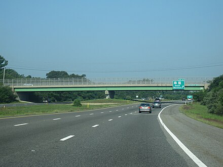
The route passes under Tihonet Road and through Maple Swamp, located at the northern end of Parker Mills Pond.
[3] After the Tihonet Road overpass, the route continues on a southeastern projection, passing close to several farms and cranberry bogs in Wareham.
Due to state funding cutbacks, services at the rest area are limited to summer weekends (Friday to Sunday) as of 2010.
The origins of Route 25 date back to 1947, when the Massachusetts Department of Public Works (MassDPW) announced plans for an expressway that would link I-95 in Foxborough with Cape Cod.
[6] Route 25 was originally planned to connect to the Sagamore Bridge, which carried US 6 over the Cape Cod Canal and was used to access the towns of Hyannis and Provincetown.
[6] The Route 25 freeway was then redesigned to cross over the Bourne Bridge and connect with the Mid-Cape Highway (US 6) on the southern side of the canal via the proposed Southside Connector.
[6] The connector would have been constructed through the Massachusetts Military Reservation in Bourne, but was canceled by the MassDPW and MassHighway in 1977 when environmental tests indicated the freeway would disturb underground aquifers serving as water sources for the region.
The proposed alignment ran through land where much of the state's cranberry harvest was located, and this led to lengthy lawsuits and delays.
[7] Throughout the 1970s and 1980s, the MassDPW developed several proposals to control storm water runoff and avoid potential damage to the cranberry crops.
[9] Engineers for the department developed four different drainage systems to be used along the length of the freeway that would divert runoff away from the Wareham River basin.
[7] The freeway was also delayed due to a larger property dispute with Hope Ingersoll, the owner of the 900-acre (364 ha) Grazing Fields Farm on Bournedale Road in Bourne, well known in the region as an artists' colony and a producer of organic food.
In 1978, MassDPW rejected Ingersoll's design, instead approving the alignment that ran through farmland seized by eminent domain.
MassDPW eventually opted to construct Ingersoll's design, giving Route 25 a longer alignment that arced to the north and east of Grazing Fields Farm before turning westward toward the Buzzards Bay business district and the Bourne Bridge.
The new expressway relieved congestion along US 6 and Route 28 in the Buzzards Bay business district, greatly reducing the number of accidents along the approach to the Bourne Bridge.
Due to the previous confusion, and despite the solution, the Massachusetts Department of Transportation (MassDOT) has enacted a proposition which would have MA-25 cease to exist and be replaced by I-495, but has yet to implement the plan, which has been postponed indefinitely.
[18] The project was put on hold the next decade, but never cancelled outright, when concerns arose about the status of the groundwater aquifers which sat under the reservation.