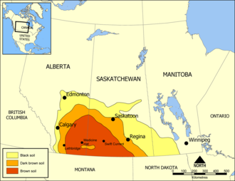
Missouri Coteau
[3] Historically, in Canada the area was known as the Palliser's Triangle and regarded as an extension of the Great American Desert and unsuitable for agriculture and thus designated by Canadian geographer and explorer John Palliser.
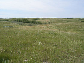
The terrain of the Missouri Coteau features low hummocky, undulating, rolling hills, potholes, and grasslands.
The plateau is underlain by Pierre Shale covered with hardened deposits from repeated glaciations.
This is because of the poor drainage in the area, and the plateau’s close proximity to the Prairie Pothole Region.
[9] It is transversed by several broad sags marking the ancient stream valleys of the eastern continuations of the Grand, Moreau, Cheyenne, Bad, and White rivers.