Murray County, Minnesota
In 1855 the legislature partitioned a portion of western Blue Earth to create Brown County.
The county was named for William Pitt Murray (1825-1910), a prominent civic and political figure in Minnesota during its nascent era.
This settlement grew rapidly, and its residents soon began agitating to have the county seat moved there.
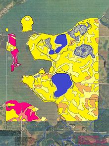
The county terrain consists of low rolling hills, dotted with lakes and ponds, with all available area devoted to agriculture.
However, its highest elevation occurs on Buffalo Ridge, a promontory extending about two miles along the crest of the Coteau des Prairies in central Chanarambie Township.
[6] The Mississippi-Missouri watershed divide runs through the western part of the county, near Chandler, along Buffalo Ridge.
The county matched the national outcome every year from 1964 until 2008 except 1988, when during the farm crisis it voted for Michael Dukakis.