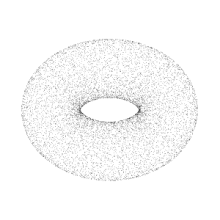
Point cloud
As the output of 3D scanning processes, point clouds are used for many purposes, including to create 3D computer-aided design (CAD) or geographic information systems (GIS) models for manufactured parts, for metrology and quality inspection, and for a multitude of visualizing, animating, rendering, and mass customization applications.
[6] With advancements in machine learning in recent years, point cloud registration may also be done using end-to-end neural networks.
[12] Some approaches, like Delaunay triangulation, alpha shapes, and ball pivoting, build a network of triangles over the existing vertices of the point cloud, while other approaches convert the point cloud into a volumetric distance field and reconstruct the implicit surface so defined through a marching cubes algorithm.
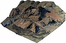
[13] In geographic information systems, point clouds are one of the sources used to make digital elevation model of the terrain.
Since then, the two test models have evolved through technical contributions and collaboration, and the first version of the PCC standard specifications was expected to be finalized in 2020 as part of the ISO/IEC 23090 series on the coded representation of immersive media content.