Sermilik
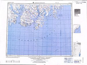
[1] Sermilik's mouth is located between Kitak Island and Cape Tycho Brahe in the Denmark Strait area of the Atlantic Ocean.
[2] Initially Fridtjof Nansen had thought that Sermilik would offer a route up to reach the ice cap for his projected westward overland crossing.
On 3 June 1888 Nansen's party was picked up from the north-western Icelandic port of Ísafjörður by Norwegian sealer Jason.
On 17 July, with the coast still 20 kilometres (12 mi) away, Nansen decided to launch the small boats; they were within sight of the Sermilik Fjord, which Nansen had deemed a good place to reach the ice sheet in order to cross it and reach Christianshåb.
[3] There followed days of extreme frustration for the party as, prevented by weather and sea conditions from reaching the shore, they drifted southwards with the ice.