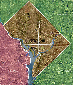
Southwest (Washington, D.C.)
Waterfront developed into a quite contradictory area: it had a thriving commercial district with grocery stores, shops, a movie theater, as well as a few large and elaborate houses (mostly owned by wealthy blacks).
[2] In the 1950s, city planners working with the U.S. Congress decided that Southwest should undergo a significant urban renewal — in this case, meaning that the city would declare eminent domain over all land south of the National Mall and north of the Anacostia River (except Fort McNair); evict virtually all of its residents and businesses; destroy all streets, buildings, and landscapes; and start again from scratch.
The seizure of the entire area, including well maintained properties, was upheld by the United States Supreme Court in Berman v. Parker.
[3] Only a few buildings were left intact, notably the Maine Avenue fish market, the Wheat Row townhouses, the Thomas Law House, and the St. Dominic's and Friendship churches.
The rebuilt Southwest featured a large concentration of office and residential buildings in the brutalist style that was then popular.
Following a proposal by Chloethiel Woodard Smith and Louis Justement,[4] renewal in Southwest marked one of the last great efforts of the late Modernist movement.
Architect I. M. Pei developed the initial urban renewal plan[5] and was responsible for the design of multiple buildings, including those comprising L’Enfant Plaza and two clusters of apartment buildings located on the north side of M St. SW, initially called Town Center Plaza).
The NCPC and the National Park Service intended the project to be an interim improvement that could be in place for ten years while the area awaits redevelopment.
[13] Hoffman-Madison Waterfront (the developer of "The Wharf") and the District of Columbia government agreed to invest $4 million in the project in an effort to improve neighborhood connectivity in the area.