Timeline of the 2002 Pacific hurricane season
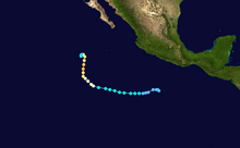
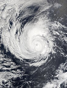
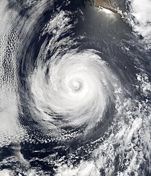
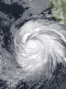
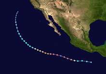
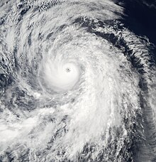
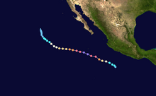
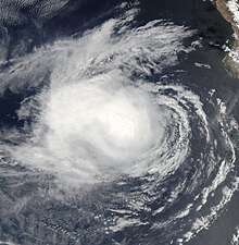
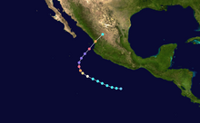
After weakening from its peak intensity—which was marked by a minimum barometric pressure of 913 mbar (26.96 inHg), making it the fourth-most intense Pacific hurricane on record[5]—Kenna made landfall on the coast of western Mexico at Category 4 status with maximum sustained winds of 140 mph (220 km/h).
These winds, combined with a storm surge of up to 16 feet (4.9 m), devastated the area surrounding the fishing village of San Blas, Nayarit, where as many as 95% of homes were damaged or destroyed; four people were killed.
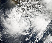
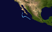
Tropical Storm Julio struck southern Mexico in late September, causing torrential rainfall; flash floods damaged structures, and slick roads contributed to a bus accident that killed three people.
Figures for maximum sustained winds and position estimates are rounded to the nearest five units (knots, miles, or kilometers) and averaged over one minute, following National Hurricane Center practice.
This timeline documents the formation of tropical cyclones as well as the strengthening, weakening, landfalls, extratropical transitions, and dissipations during the season.