Allegheny River
Historically, the Allegheny was considered to be the upper Ohio River by both Native Americans and European settlers.
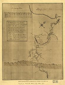
This shallow river has been made navigable upstream from Pittsburgh to East Brady by a series of locks and dams that were constructed during the early 20th century.
[4] The name Allegheny probably comes from Lenape welhik hane[5][6] or oolikhanna, which means 'best flowing river of the hills' or 'beautiful stream'.
The stream flows south and passes under Pennsylvania Route 49 11 miles northeast of Coudersport where a historical marker that declares the start of the river is located.
[2] It continues west to Port Allegany then turns north into western New York,[14] looping westward across southern Cattaraugus County for approximately 30 miles (48 km), past Portville, Olean, Allegany and Salamanca and flowing through Seneca Indian Nation lands close to the northern boundary of Allegany State Park before re-entering northwestern Pennsylvania within the Allegheny Reservoir just east of the Warren-McKean county line, approx.
The Allegheny Valley has been one of the most productive areas of fossil fuel extraction in United States history, with its extensive deposits of coal, petroleum, and natural gas.
Several locks were built in the early 20th century to make the Allegheny River navigable for 72 miles upstream from Pittsburgh to East Brady.
By the time of the arrival of French colonialists in the early 18th century, the Shawnee were once again in control and formed an alliance with France against attempts by colonists from British North America to settler across the Allegheny Mountains.
The conflict over the expansion of Anglo-American settlement into the Allegheny Valley and the surrounding Ohio Country was a primary cause of the French and Indian War in the 1750s.
After the American Revolutionary War, the entire river valley became part of the new United States, and U.S. settlers forcibly displaced the region's indigenous population.
One of the underlying premises of the Genesee Valley Canal was its connection to the river, opening a trade route from Rochester, New York to the west.
Many prominent individuals opposed the construction of the dam at that time because of the damage it would do to Seneca lands, including Pennsylvania Congressman John P. Saylor of Johnstown, and Howard Zahniser, executive director of The Wilderness Society and native of Tionesta—a small settlement located along the Allegheny River several miles downstream from Warren.
In 2008, Katie Spotz became the first person to swim the entire 325 mi (523 km) of the Allegheny River; she was accompanied by safety kayaker, James Hendershott.
[25] The team began at the river's source in Warren, Pennsylvania on July 22 and finished at the "Point" in Downtown Pittsburgh on August 21.
[26] In 2017 the documentary Lake of Betrayal was released detailing the struggle of the Seneca Nation over the Kinzua Dam project on the Allegheny in the 1960s.