Almagreira (Vila do Porto)
The importance of this clay was later mentioned in a local poem: The beachhead, today Praia Formosa, was first referred to in the Castillian Açores Insulae map, authored by Luís Teixeira and dated to 1584, as the Plaia Hermosa.
[4] The same author, in his map Descripçam da Ilha de Santa Maria, in 1587 (today located in the Biblioteca Nazionale Centrale de Florença), referred to the area of Almagreira as the Parish of Figueira (Portuguese: Paróquia da Figueira)”, noting the ancient hermitage dedicated to Nossa Senhora dos Remédios, and a small population of 40 neighbours, in addition to the aforementioned Praia Fremosa.
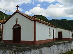
[8] It was during the 19th century, that thee twelfth Commander in the Order of Christ on Santa Maria, Diogo José Ferreira de Eça e Menezes, third Count of Lousã, who organized the collection of funds to support the creation of a specific Curato Sufragâneo da Matriz na Almagreira (clergy) to reside at the Church of Bom Despacho.
[10] This parish is found within a transitional band from the higher altitude, rugged relief on the eastern coast, and the planar landscape of the western half of the island.
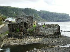
[11] Meanwhile, the southern coast fronts a large bay, surrounded by basaltic and sedimentary cliffs (such as Touril or Macela) cut by ravines that disgorge into the ocean.
1-2ª roadway that connects São Pedro and Vila do Porto in the northeast corner, through the built-up area of Almagreira proper, to the foothills around Bom Despacho Velho.
[10] Over the years, the local population has occupied itself traditionally with activities associated with agriculture and cattle-raising (primarily dairy), in addition to artesian handicrafts (works of wicker, wool or produced from loom), as well as regional sweets (such as biscoitos de orelha, cavacas or búzios).