Banzare Coast
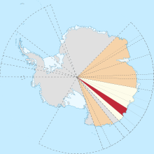
Banzare Coast (67°S 126°E / 67°S 126°E / -67; 126), part of Wilkes Land, is that portion of the coast of Antarctica lying between Cape Southard, at 122°05′E, and Cape Morse, at 130°10′E.
This coast was spotted by the US Exploring Expedition in Feb.
[1] It was seen from the air by the British-Australian-New Zealand Antarctic Research Expedition, in 1930–1931, led by Douglas Mawson.
The name by Mawson is an acronym of the expedition title.
This Wilkes Land location article is a stub.