Barclay Bay
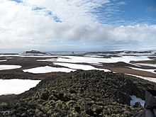
Barclay Bay (62°33′S 60°58′W / 62.550°S 60.967°W / -62.550; -60.967) is a bay in the Drake Passage between Cape Shirreff and Essex Point on the north side of Livingston Island, in the South Shetland Islands.
The name appears on an 1825 chart of the British sealing expedition under James Weddell, and is now established in international usage.
Barclay Bay is part of the mise-en-scène in the Antarctica thriller novel The Killing Ship authored by Elizabeth Cruwys and Beau Riffenburgh under their joint alias Simon Beaufort in 2016.
The plot involves a ship sent to the bottom of the bay, which is shown on a sketch map of Livingston Island illustrating the book.
This Livingston Island location article is a stub.