Boatin Island
It ends in the T-shaped 250 m wide Hammer Point to the north, and connected to Robert Island to the south by a 250 m long moraine tombolo.
The feature was formed as a result of the retreat of Robert Island's ice cap during the first decade of 21st century.
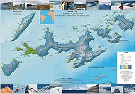
Boatin Island lies between Clothier Harbour and Nevestino Cove at 62°20′32.7″S 59°38′55″W / 62.342417°S 59.64861°W / -62.342417; -59.64861.
This article includes information from the Antarctic Place-names Commission of Bulgaria which is used with permission.
This Robert Island location article is a stub.