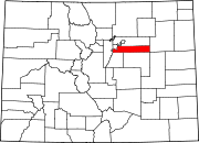
Foxfield, Colorado
[3] Foxfield is a part of the Denver–Aurora–Lakewood, CO Metropolitan Statistical Area and the Front Range Urban Corridor.
[6] At the 2020 United States Census, the town had a total area of 847 acres (3.427 km2), all of it land.
[3] As of the census[7] of 2000, there were 746 people, 247 households, and 218 families residing in the town.
The racial makeup of the town was 93.70% White, 2.68% African American, 1.34% Asian, and 2.28% from two or more races.
8.5% of all households were made up of individuals, and 2.8% had someone living alone who was 65 years of age or older.
