Frigate Range
[1] The Frigate Range was named by the northern party of the New Zealand Geological Survey Antarctic Expedition (NZGSAE; 1961–62) to commemorate the work of the New Zealand frigates on Antarctic patrol duties.
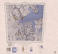
The Otago Glacier forms to the northwest of the Frigate Range and flows north.
A peak, 3,080 metres (10,100 ft) high, standing 4 nautical miles (7.4 km; 4.6 mi) east of Mount Markham.
A peak, 2,900 metres (9,500 ft) high, standing 1 nautical mile (1.9 km; 1.2 mi) northeast of Mount Pukaki.
A peak, 1,930 metres (6,330 ft) high, standing 3 nautical miles (5.6 km; 3.5 mi) east of Mount Rotoiti.