Gilcrest, Colorado
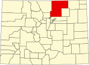
[3] Gilcrest is a part of the Greeley, CO Metropolitan Statistical Area and the Front Range Urban Corridor.
[8] At the 2020 United States Census, the town had a total area of 519 acres (2.100 km2), all of it land.
[3] As of the census[9] of 2000, there were 1,162 people, 329 households, and 271 families residing in the town.
There were 346 housing units at an average density of 464.5 per square mile (179.3/km2).
14.9% of all households were made up of individuals, and 6.7% had someone living alone who was 65 years of age or older.
