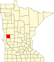
Grant County, Minnesota
[3] The Chippewa River flows generally southward through the eastern part of Grant County.
The Mustinka River flows south and then west-southwest through the upper and central parts of western Grant County.
The terrain consists of low rolling hills dotted with lakes, its usable areas devoted to agriculture.
[5] The terrain generally slopes to the south and east; its highest point is on its upper eastern border, at 1,375 ft (419 m) ASL.
Grant County is a swing district that has leaned Republican in recent elections.
As of 2024, the county has selected the Republican presidential candidate in 67% of national elections from 1980 inclusive.