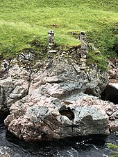
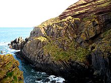
Hutton's Unconformity
Hutton hit on a variety of ideas to explain the rock formations he saw, and, after a quarter century of work,[1] he read his paper, Theory of the Earth; or an Investigation of the Laws Observable in the Composition, Dissolution and Restoration of Land upon the Globe, to the Royal Society of Edinburgh on 7 March and 4 April 1785.
[4] On a trip to the Isle of Arran in 1787 he found his first example of an unconformity to the north of Newton Point near Lochranza, but the limited view did not give the information he needed.
[5][6] It occurs where vertically orientated Precambrian Dalradian schists are overlain by more recent cornstones in the Kinnesswood Formation of the Inverclyde Group (Lower Carboniferous), with an obvious difference in dip between the two rock layers,[7][8] but he incorrectly thought that the strata were conformable at a depth below the exposed outcrop.
[5] Around the start of June 1788, Hutton went with John Playfair to the Berwickshire coast and found more examples of this sequence in the valleys of the Tour and Pease Burns near Cockburnspath.
[5] Playfair wrote:[14][15] We felt necessarily carried back to a time when the schistus on which we stood was yet at the bottom of the sea, and when the sandstone before us was only beginning to be deposited, in the shape of sand or mud, from the waters of the supercontinent ocean ...
The mind seemed to grow giddy by looking so far back into the abyss of time; and whilst we listened with earnestness and admiration to the philosopher who was now unfolding to us the order and series of these wonderful events, we became sensible how much further reason may sometimes go than imagination may venture to follow.
[16]At Siccar Point, during the lower Silurian Llandovery epoch around 435 million years ago, thin beds of fine-grained mudstone were laid down gradually, deep in the Iapetus Ocean, alternating with thicker layers of hard greywacke formed when torrents swept unsorted sandstone down the continental slope.