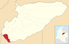
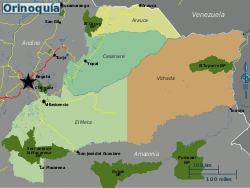
Llanos Basin
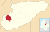
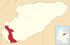
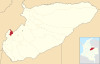
The onshore foreland on Mesozoic rift basin covers the departments of Arauca, Casanare and Meta and parts of eastern Boyacá and Cundinamarca, western Guainía, northern Guaviare and southeasternmost Norte de Santander.
It is located between the Eastern Ranges of the Colombian Andes in the west, the Vaupés Arch in the south and the Guiana Shield in the east.
An area where transport occurs mostly by small boats along the many rivers and the "buses of the Llanos", the Douglas DC-3 planes.
The basin covers an area of 96,000 square kilometres (37,000 sq mi) and contains a stratigraphic column from the Paleozoic to recent.
Major fields are Rubiales, Colombia's biggest and most recent giant discovery sealed by a complex of hydrodynamic processes, and Caño Limón, at the border with Venezuela.
Major concerns in the basin for the production of petroleum are biodegradation, hydrocarbon migration, fault seal capacity and water flow.
Younger and contemporaneous Paleozoic deposits are only found in the subsurface and in regional correlative units as the Floresta and Cuche Formations of the Altiplano Cundiboyacense to the direct northwest and the Río Cachirí Group of the Cesar-Ranchería Basin farther northwest of the Llanos Basin.
The units found in the Llanos Basin pertain to the Farallones Group and comprise the Valle del Guatiquía Red Beds, Pipiral Shale and the Gutiérrez Sandstone.
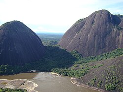
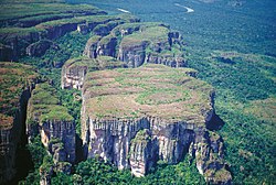
Paleozoic outcrops surrounding and perforating the planar geography have provided fossils dating back to the Cambrian; the Duda and Ariarí Formations.


Nazca Plate has been subdivided into Coiba and Malpelo Plates