Mount Markham
It is named for Sir Clements Markham, who, as President of the Royal Geographical Society, planned the expedition and chose Robert Falcon Scott as its leader.
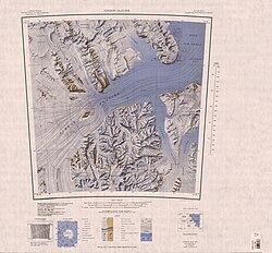
It is south of Mount Cara, east of the Frigate Range and the head of the Kent Glacier, and northeast of the Markham Plateau.
A small, but prominent, high plateau which extends south from Mount Markham for about 10 nautical miles (19 km; 12 mi) and forms the divide between east and west-flowing glaciers in the north part of the Queen Elizabeth Range.
A peak, 3,755 metres (12,320 ft) high, standing 1.5 nautical miles (2.8 km; 1.7 mi) north of Mount Markham.
Named by US-ACAN in 1988 after geologist Russell J. Korsch who, with E. Stump and D. Egerton, climbed and geologically mapped this peak on December 3, 1985, as a member of a USARP field party.
A hill 2 nautical miles (3.7 km; 2.3 mi) west of Mount Tedrow, on the south side of Kent Glacier.
A partly snow-covered mountain, 1,710 metres (5,610 ft) high, just north of lower Pavlak Glacier.