Nicolas de Fer
[3] When he was 12, he became the apprentice of Parisian engraver Louis Spirinx, and made his first map, of the Canal du Midi, at the age of 23.
[6] With support from the Spanish and French royal families, de Fer also became official geographer for Philip V and Louis XIV, the kings of Spain and France, respectively.
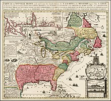
In 1698, de Fer published a map of North America, which included a depiction of beavers building dams near Niagara Falls.
Seventeen years later, Herman Moll published a map which plagiarized elements of de Fer's work, particularly the beaver scene.
[6] Two of his sons-in-law, Guillaume Danet and Jaques-François Bénard, continued the company after de Fer's death on 25 October of that year until around 1760.