Orographic lift
[1]: 162 As the air mass gains altitude it quickly cools down adiabatically, which can raise the relative humidity to 100% and create clouds and, under the right conditions, precipitation.
[1]: 472 Orographic lifting can have a number of effects, including precipitation, rain shadowing, leeward winds, and associated clouds.
Examples include: The highest precipitation amounts are found slightly upwind from the prevailing winds at the crests of mountain ranges, where they relieve and therefore the upward lifting is greatest.
[citation needed] A similar class of winds, the Sirocco, the Bora and Santa Ana winds, are examples where orographic lifting has limited effect since there is limited moisture to remove in the Saharan or other air masses; the Sirocco, Bora and Santa Ana are driven primarily by (adiabatic) compression heating.
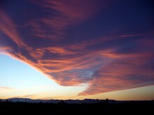
[citation needed] As air flows over mountain barriers, orographic lift can create a variety of cloud effects.