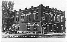
Rushmore, Minnesota
[4] According to the United States Census Bureau, the city has a total area of 0.25 square miles (0.65 km2), all land.
It is situated on the Buffalo Ridge, a drainage divide between the Mississippi and Missouri River systems.
The town owes its existence to the construction of the Worthington and Sioux Falls Railway, and the desire of a New York capitalist to establish a land colonization scheme in southwestern Minnesota.
When the Worthington and Sioux Falls Railway was initially surveyed, it was decided to construct a station house in section 19 of Dewald Township.
In 1878, George I. Seney, a New York capitalist, secured control of large plots of railroad land in Dewald and Olney Townships.
He immediately began the process of colonizing the lands, bringing out settlers from New York City and other eastern points.
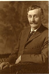
In August 1878, the town was renamed Rushmore [6] in honor of the pioneer shopkeeper, and the community grew rapidly.
Rushmore is located in Minnesota's 1st congressional district, represented by Jim Hagedorn, a Republican.
City council members are Andrew Noble, Bruce Boltjes, Shirley Vis, and Carol Hieronimus.
[10] Rushmore is in Dewald Township and is represented by Nobles County Commissioner Matt Widboom.