[4] The rover has been making good time on its approach to Solander, giving the opportunity to investigate a curious area of terrain in the crater.
[8] Its arrival signaled the availability of a northward facing slope, useful for angling to collect more sunlight during the Martian winter.
[9] By December 2013, the rover reached the top of Solander point hill as the 10 year anniversary of its landing on Mars neared.
[11] Between Solander Point and, to north of it Cape York, both of which are raised up, is a lower area that is noted to be a part of the Burns Formation.
[12] The Burns Formation extends all the way back to Opportunity's landing site by Eagle crater, and it was heavily studied prior to this time by the rover.
North of Solander looking south onto it
Annotated map with location of Solander Point, on Endeavour crater's western rim
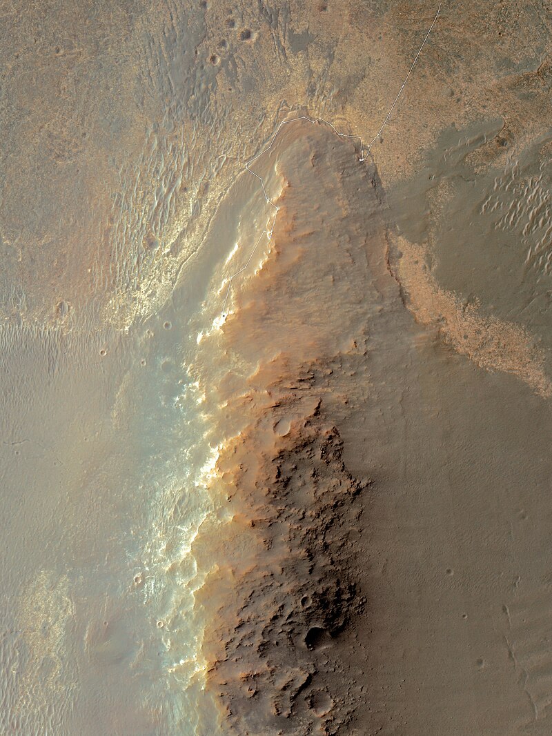
Solander Point with MER-B rover track November 2013
Looking south on Solander Point with the crater floor to the left
MER-B's arrival and subsequent path around Cape York, and finally its departure as it headed south into Botany Bay towards Solander Point
A different view of its path towards Solander
MER-B's path to Solander Point, and then down along Murray Ridge. (Up to February 2014)
Solander Point is a location on the Western Rim of Endeavour crater, shown here in this geological map produced with data from MRO's CRISM instrument
Looking south along the Western rim of Endeavour crater, Solander Point is the start of the ridge on the right