Transport in Madagascar
Paved and unpaved roadways, as well as railways, provide the main forms of transport in Madagascar.
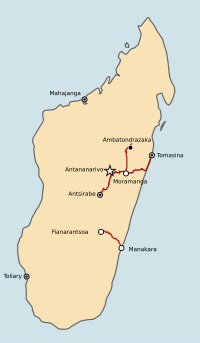
[citation needed] The road network of Madagascar, comprising about 4,500 unique roads spanning 31,640 kilometers (19,660 mi), is designed primarily to facilitate transportation to and from Antananarivo, the Malagasy capital.
Many roads are impassable during Madagascar's wet season; some bridges (often narrow, one-lane structures) are vulnerable to being swept away.
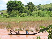
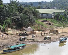
The relatively short rivers of Madagascar are typically of local importance only; isolated streams and small portions of Lakandranon' Ampangalana (Canal des Pangalanes) are navigated by pirogue.
Coastal inter-city transport routes are found along the west coast.