Utah State Route 20
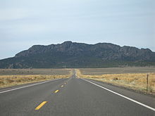
[2] SR-20 begins at I-15, Exit 95, 14 miles (23 km) north of Paragonah, and heads east and southeast through a pass between the Markagunt Plateau and the Tushar Mountains.
Trucks are routed from I-15 and US-89 onto SR-20 in preference to SR-9 and SR-14 to avoid steep grades and switchbacks required to cross the Markagunt Plateau.
[3] SR-20 itself is a difficult route, featuring 7% grades on the approaches to the 7,910-foot (2,410 m) summit, and oversize vehicles are required to have a pilot escort.
The road from SR-1 (by 1926 US-91, now SR-271) in Paragonah to SR-11 (by 1926 US-89) at Bear Valley Junction was added to the state highway system in 1917.
[6] In 1927, the legislature assigned the State Route 20 designation to it,[7] and in 1953 the west end was moved north to the present junction with I-15,[6] removing Little Creek Canyon Road and Upper Bear Valley Road from the state highway system.