Cape Unslicht
Cape Unslicht (Russian: Мыс Песчаный, Mys Peschanyy)[1] is a headland in Severnaya Zemlya, Russia.
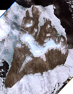
Stretching out northwards NW of the Akhmatov Fjord and east of the mouth of Mikoyan Bay, this headland is the northernmost point of Bolshevik Island.
[1] Cape Unslicht is one of the landmarks defining the limits of the Laptev Sea according to the International Hydrographic Organization.
[2] The Laptev Sea shore of present-day Severnaya Zemlya was discovered by Boris Vilkitsky in 1913 during the Arctic Ocean Hydrographic Expedition on behalf of the Russian Hydrographic Service, but he was unaware that there was a strait west of the cape between what is now Bolshevik Island and the islands further north, for the straits are frozen most of the year, forming a compact whole.
[3][4] Named during the 1930–1932 expedition to the archipelago led by Georgy Ushakov and Nikolay Urvantsev after Zofia Unslicht, a German communist figure,[5][6] this headland was renamed Mys Peschanyy (Sandy Cape) in Russian, following World War II.