Ferraris map
The map was made in response to a request by Prince Charles Alexander of Lorraine.
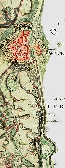
It is the first systematic, large scale mapping of modern-day Belgium and parts of Western Europe.
The Ferraris maps reflect the detailed state of the Southern Netherlands towards the end of the Ancien Régime, just before the start of the Industrial Revolution that drastically transformed landscapes.
Looking at the maps today, it is obvious how much the areas have changed over time as people began to have a bigger impact on the environment.
Environmental organizations often use them to describe the "original" (i.e. pre-industrial) state of an area.