Gallia Lugdunensis
Outside Lugdunum was the Sanctuary of the Three Gauls, where representatives met to celebrate the cult of Rome and Augustus.
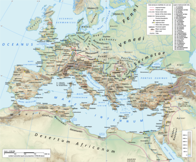
The territory of the Galli extended from the rivers Seine and Marne in the north-east, which formed the boundary with Gallia Belgica, to the river Garonne in the south-west, which formed the border with Gallia Aquitania.
Under Augustus, Gallia Lugdunensis was created by reducing in size the territory of the Gauls (Galli): the portion between the river Loire and the Garonne was given to Gallia Aquitania, and central-eastern portions were given to the new province of Germania Superior.
What was left of the provinces effectively ceased to exist in AD 486/487 when the Roman general Syagrius, who controlled Secunda and Senonia, was defeated by the Franks.
[1] The cities and castra of the four provinces are listed in the late 4th-century Notitia Galliarum by their ethnic titles.