General Perspective projection
When the Earth is photographed from space, the camera records the view as a perspective projection.
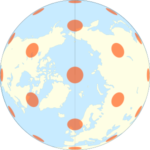
When the camera is aimed toward the center of the Earth, the resulting projection is called Vertical Perspective.
When aimed in other directions, the resulting projection is called a Tilted Perspective.
These are all true perspective projections, meaning that they result from viewing the globe from some vantage point.
It depicts the earth as it appears from some relatively short distance above the surface, typically a few hundred to a few tens of thousands of kilometers.
However, Richard Edes Harrison pioneered the use of this projection on strategic maps showing military theaters during WWII.
For example, Google Earth and NASA World Wind show the globe as it appears from space.
These applications permit a wide variety of interactive pan and zoom operations, including fly-through simulations, mimicking pictures or movies taken with a hand-held camera from an airplane or spacecraft.
Space exploration led to a renewed interest in the perspective projection.
A picture taken with a hand-held camera from the window of a spacecraft has a tilted vertical perspective, so the crewed Gemini and Apollo space missions sparked interest in this projection.
Define the radius of the sphere R and the center point (and origin) of the projection (λ0, φ0).