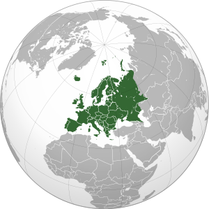
Graticule (cartography)
The term is almost always used to specifically refer to the parallels and meridians of latitude and longitude respectively in the geographic coordinate system.
The graticule is of ancient origin, being almost as old as the concept of the spherical Earth, coordinate system for measuring geographic locations, and the map projection.
Some, such as al-Khwarizmi, further developed these works, including creating maps on a graticule of latitude and longitude.
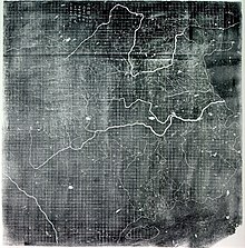
The portolan charts of the 13th to 15th centuries were much more accurate, but used rhumb lines that were much more useful for sea navigation than latitude and longitude.
There is some debate over whether the Chinese and other Asians knew the world to be spherical prior to Western contact, but most maps appear to assume regions as flat.