Itezhi-Tezhi Dam
The initial purpose of the dam was to store water for the Kafue Gorge Upper Power Station more than 260 kilometres (160 mi) downstream.
Fish and animals adapt to swim or wade, help spread nutrients, and when the waters recede, grasses grow rapidly and sustain herbivores such as buffalo, lechwe, and cattle.
[7] The designers intended for the dam to 'open the floodgates' for the duration of March, and allow a flow of 300 cubic metres per second (11,000 cu ft/s) to flood the Kafue Flats in order to maintain natural cycles.
The demand for electric power takes priority, and this, compounded by erratic rainfall since 1990, has prevented the dam from releasing water at the originally intended flow rates.
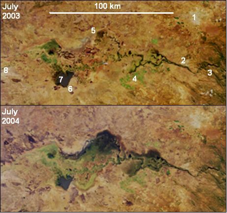
The Itezhi-Tezhi Dam has impacted the local ecology of the Kafue Flats in the following ways:[6] The 2003/4 rainy season saw particularly high rainfall in Zambia.