Lower Colorado River Valley
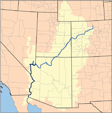
It is commonly defined as the region from below Hoover Dam and Lake Mead to its outlet at the northern Gulf of California (Sea of Cortez); it includes the Colorado River proper, canyons, the valley, mountain ranges with wilderness areas, and the floodplain and associated riparian environments.
Some of the highest air temperatures in North America are recorded in the LCRV, rivaling Death Valley; specifically Bullhead City, Lake Havasu City, Laughlin, Needles, Yuma, or the southeastern deserts of California, west of the Colorado River where extreme heat is the main summertime weather feature.
the Sonoran Desert region proper extends from areas west of the river, and then southeastwards to southeast Arizona, south along the eastern side of the Baja Peninsula cordillera to Baja California Sur, and southeast Sonora state, Mexico to the northern border of neighboring Sinaloa.
The spring flowering of ironwood, and the bat species migration arrivals also become indicators of annual or multi-year climate trends for regions of the Sonoran Desert.
The Lower Colorado River Valley has unique plant communities because it is the most arid part of the desert and it has the highest temperatures, in excess of 120 °F (49 °C) during the summer.
[3] Dominant plants in the valleys are low shrubs such as Ambrosia dumosa (white bursage) and Larrea tridentata (creosote bush).