Saline Valley
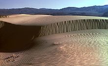
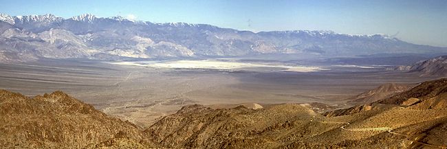
Saline Valley is a large, deep, and arid graben, about 27 miles (43 km) in length, in the northern Mojave Desert of California, a narrow, northwest–southeast-trending tectonic sink defined by fault-block mountains.
The west end of the lake supports a salt marsh, which contains a variety of plant and animal life.
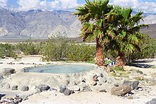
[1] Lower Warm Springs is the largest, most developed, and most popular dispersed camping area.
Saline Valley was inhabited by the Ko'ongkatün Band of Timbisha Shoshone (also known as Panamint or Koso).
An electric aerial tram was constructed in 1911 to carry the salt 14 miles (23 km) over the Inyo Mountains to a terminus northeast of Keeler, California in the Owens Valley.
Route was south from Salt Lake to Daisy Canyon then southwest and terminated at the Southern Pacific RR between Dolomite and Swansea.
As early as the 1960s, the hot springs in the valley became popular among nudists, and were eventually improved by volunteer labor, to include concrete tubs, a shower, a sink, and three outhouses (which the Park Service later replaced with concrete-lined latrines).
There has been compromise so far; a park host is always on duty, visitors are limited to 30 days per year, and the springs do not appear on any official NPS map.
The middle and lower springs have been developed with concrete soaking tubs and showers are present.
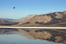
In December 2003, Edwards Air Force Base completed an environmental assessment for proposed construction and operation of a radar system and microwave repeater facility in the valley.
The assessment's conclusion is that: A Finding of No Significant Impact (FONSI) for the alternatives considered has been determined.